Start with the Plan You Already Have
Use a readable site drawing, planning sketch or model screenshot as the visual reference for your render.
Upload, camera, or try examples
PNG, JPG, JPEG, WEBP up to 50MB
Design Presets
Rendering Style · Development Type · Weather
Turn site plans and masterplan sketches into realistic architectural visuals.
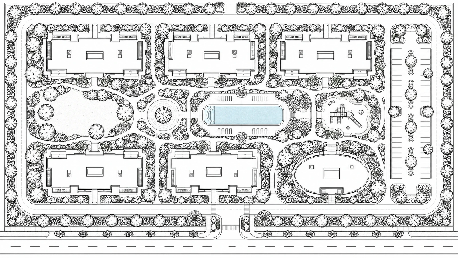
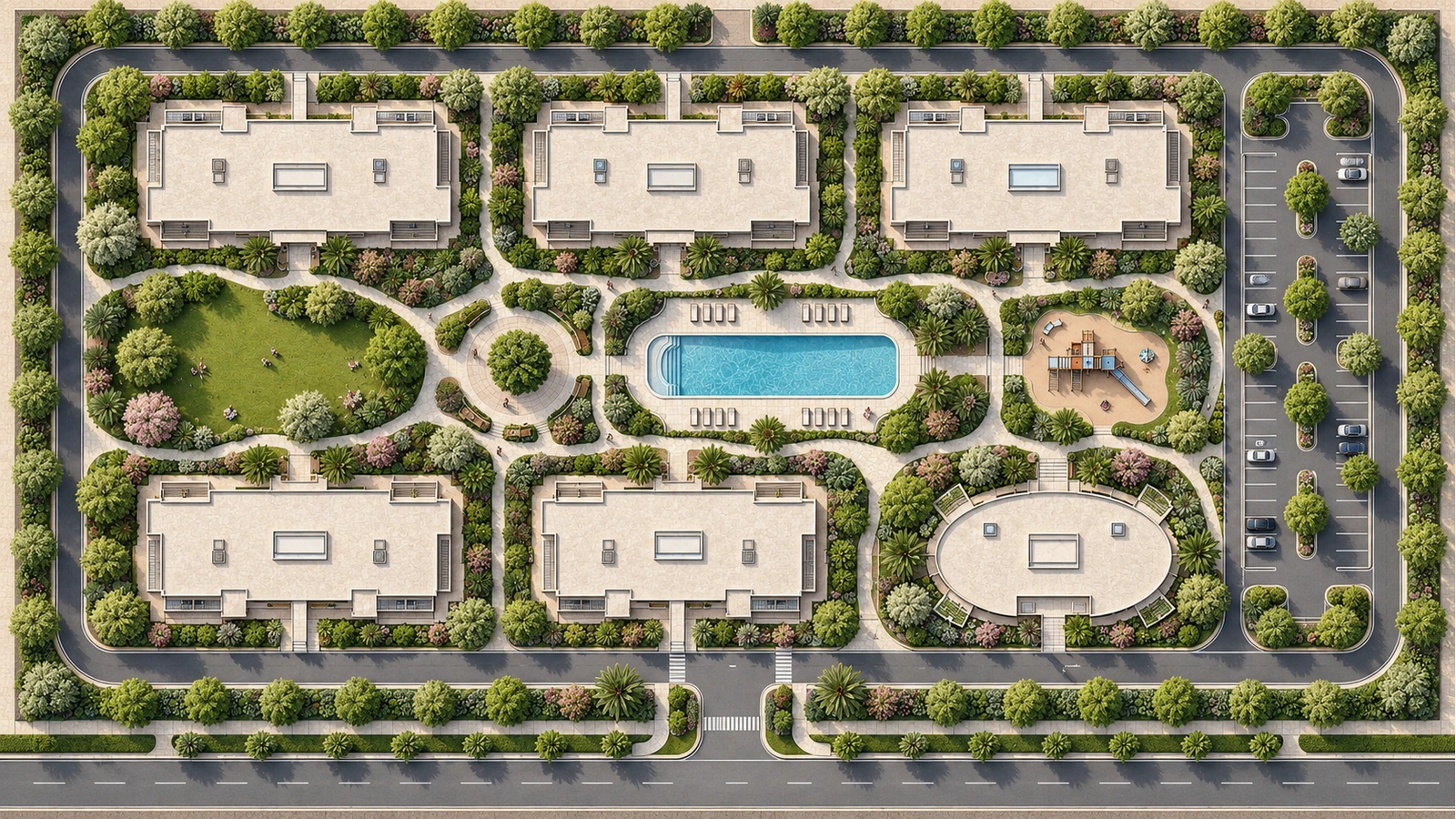 OriginalGenerated result

Create your first design
Upload a photo of your home to quickly generate your first AI renovation design.
Create your first design
Upload a site plan, masterplan sketch or model screenshot and create a rendered overview of buildings, roads, landscape and open space. Set the look with presets or describe it in Custom mode.
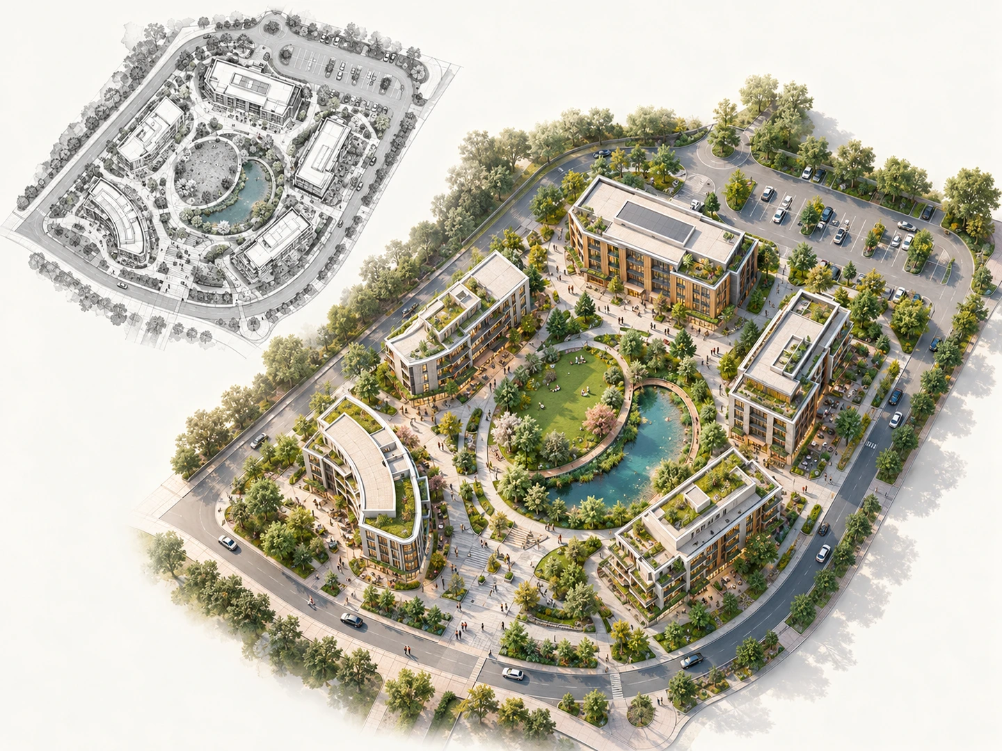
SITE PLAN RENDERING EXAMPLES
Explore six site plan rendering examples, from residential communities and campuses to industrial parks and landscape plans. Compare each source drawing with its corresponding rendered view.
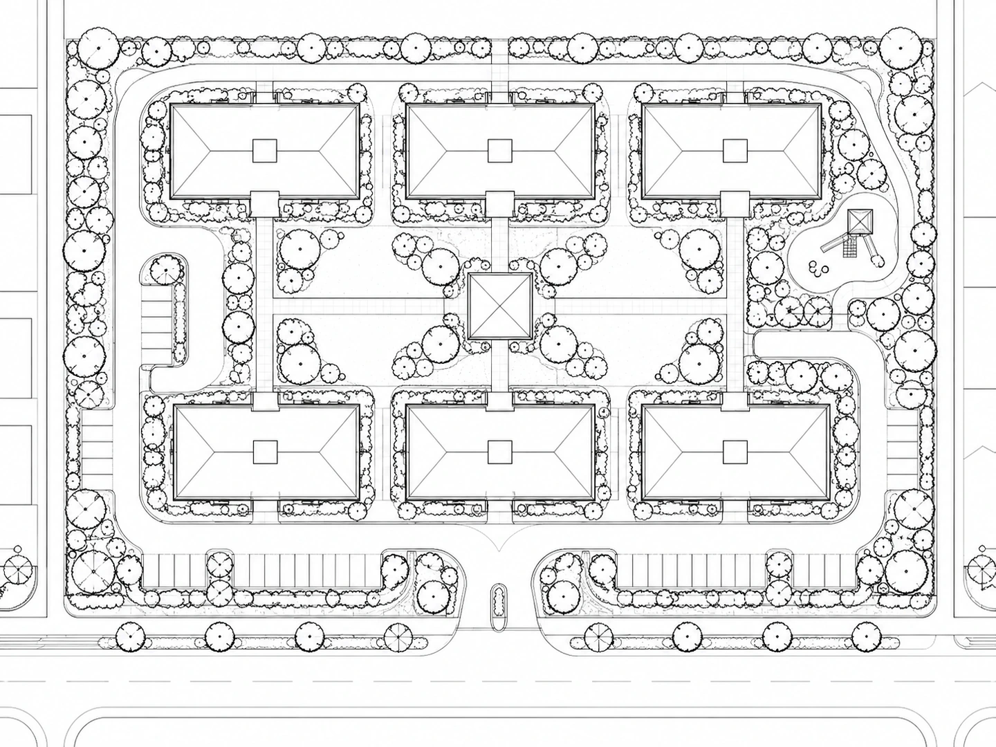
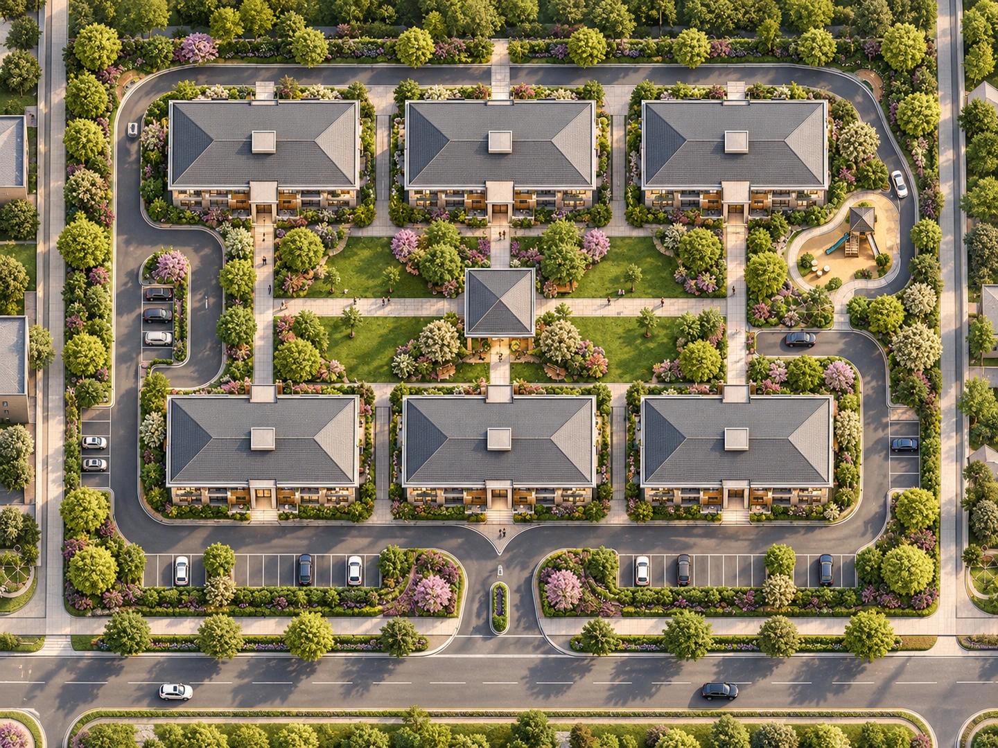
Turn a residential layout into a clear site plan render with apartment buildings, shared gardens, access roads and parking.
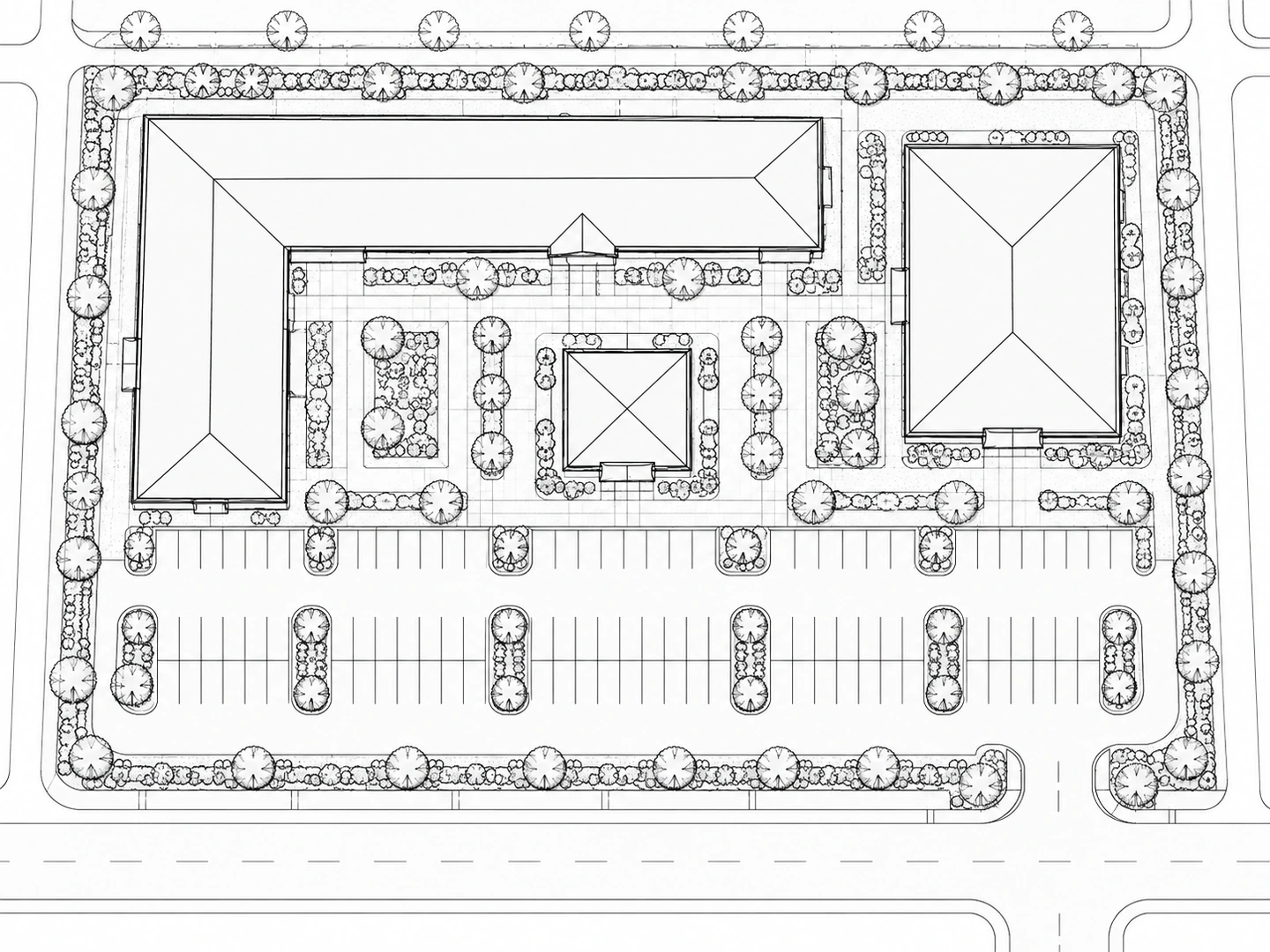
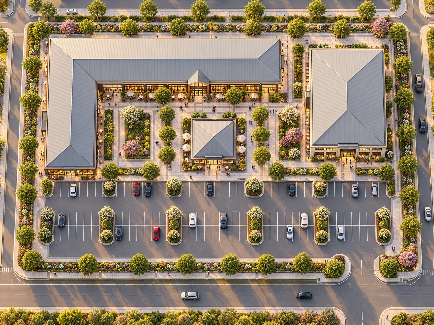
Present how retail, office space, a shared plaza and parking work together in one commercial site plan rendering.
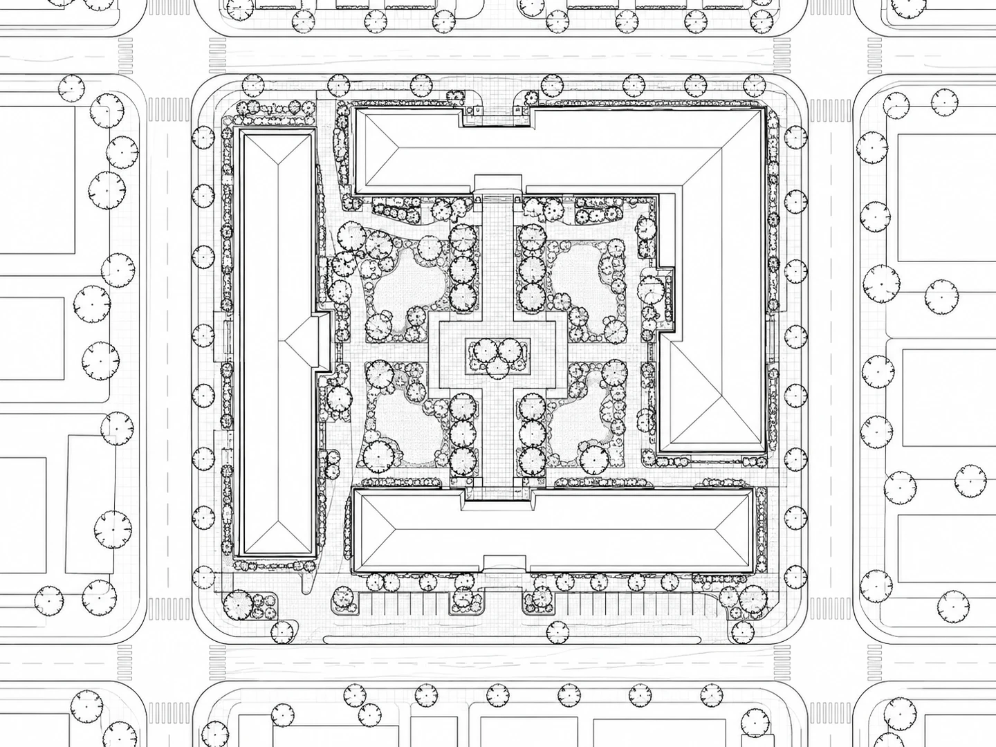
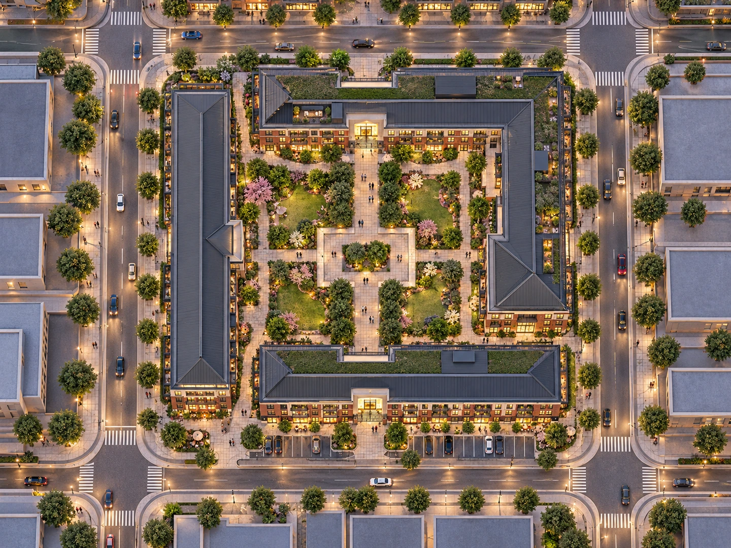
Bring a mixed-use master plan to life with readable building blocks, a pedestrian spine, pocket gardens and public space.
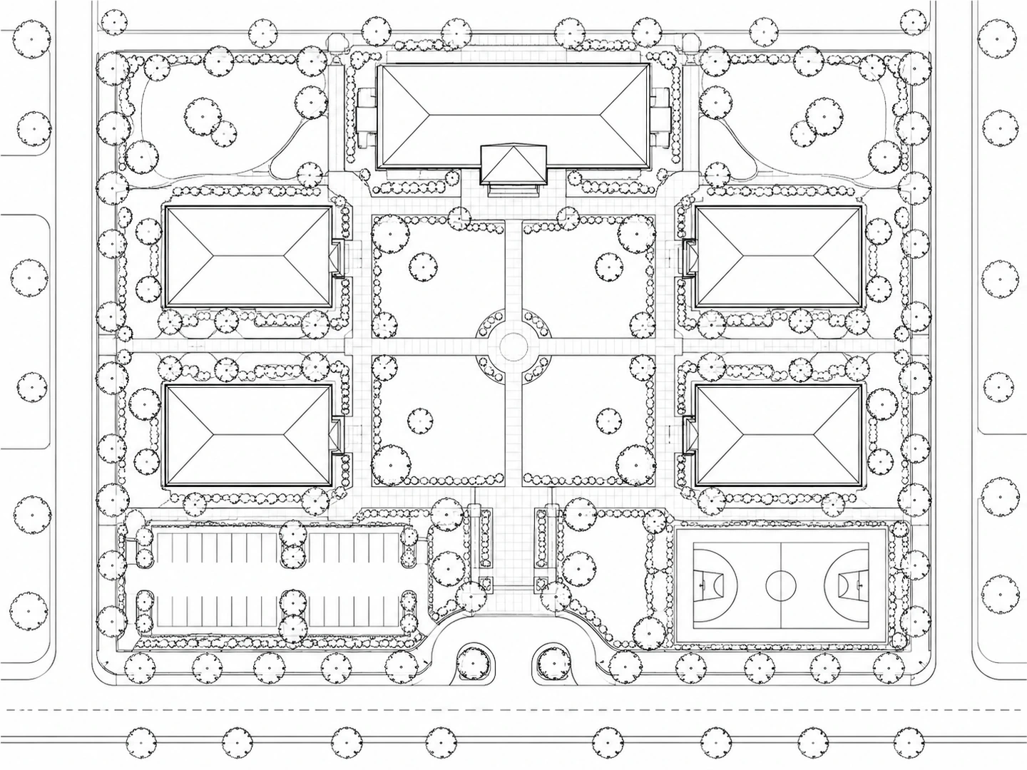
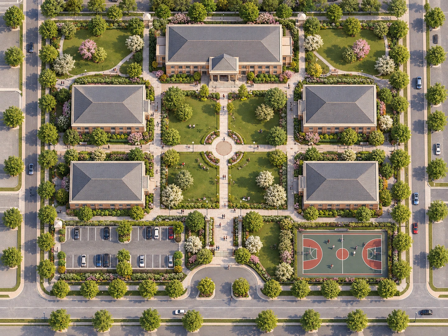
Visualize academic buildings, a central quad, pedestrian routes, a sports court and parking in one campus overview.
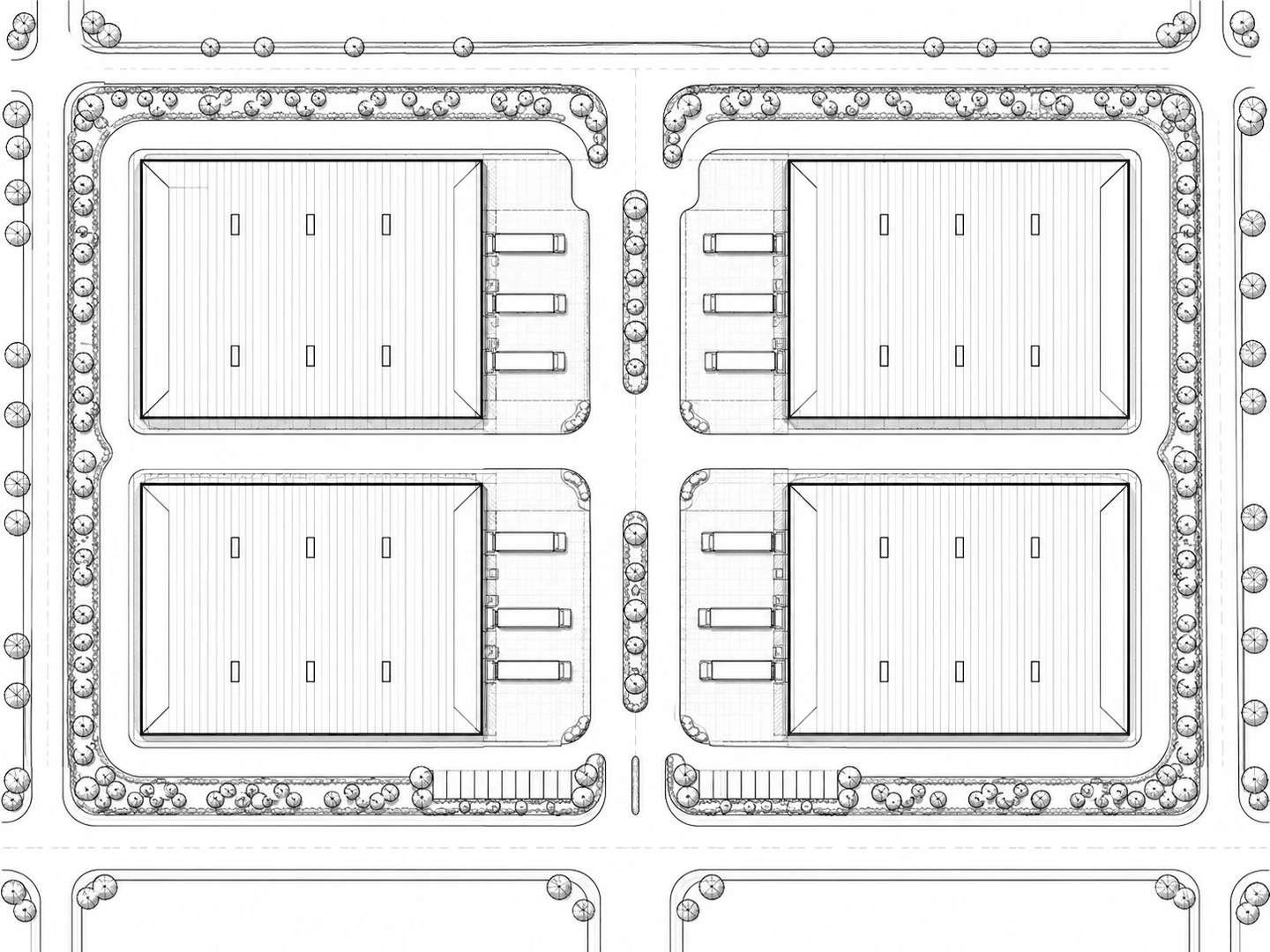
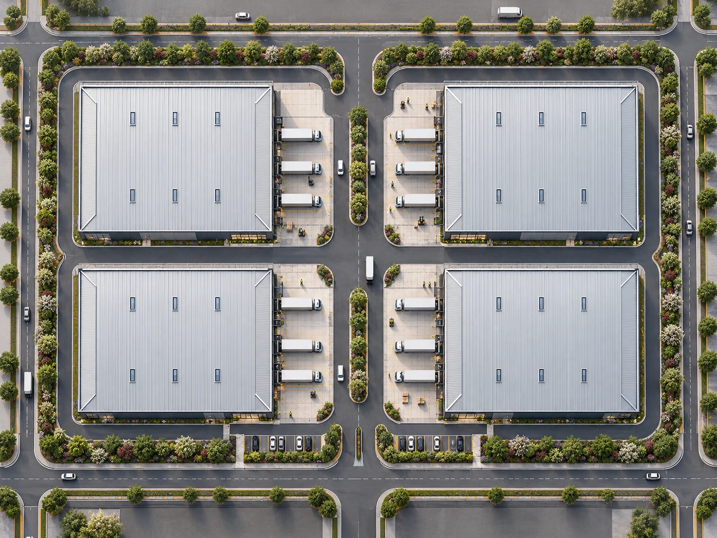
Make warehouses, loading areas, service roads and landscape buffers easier to understand in a complete industrial site view.
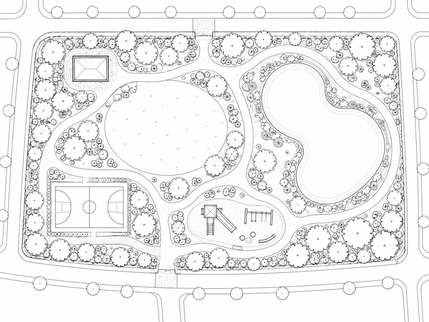
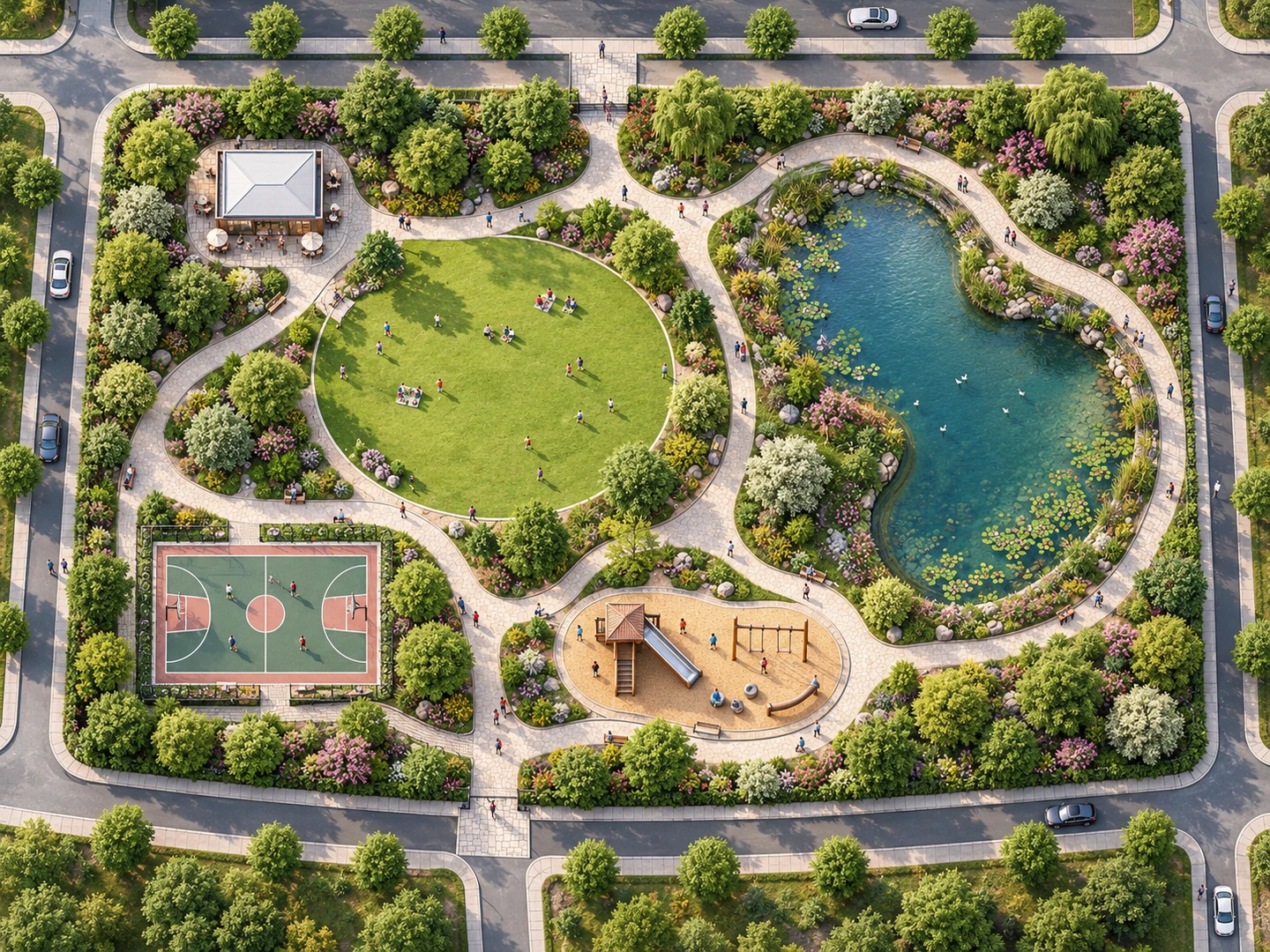
Use landscape plan rendering to show planting, open lawns, paths, a pond and recreational areas from an existing park drawing.
Site plan rendering turns a technical or conceptual site drawing into a visual overview with materials, planting, light and surrounding context. It helps people read the relationship between buildings, roads, parking and open space.
Dehome uses an uploaded site plan, masterplan sketch or model screenshot as the starting point for AI visualization. Create a colored presentation plan or a realistic site image for design discussions, client presentations and project storytelling.
The workflow also supports master plan rendering at campus or neighborhood scale. The output is a visual concept; measured dimensions, exact building heights and approval drawings should come from the original design documents.
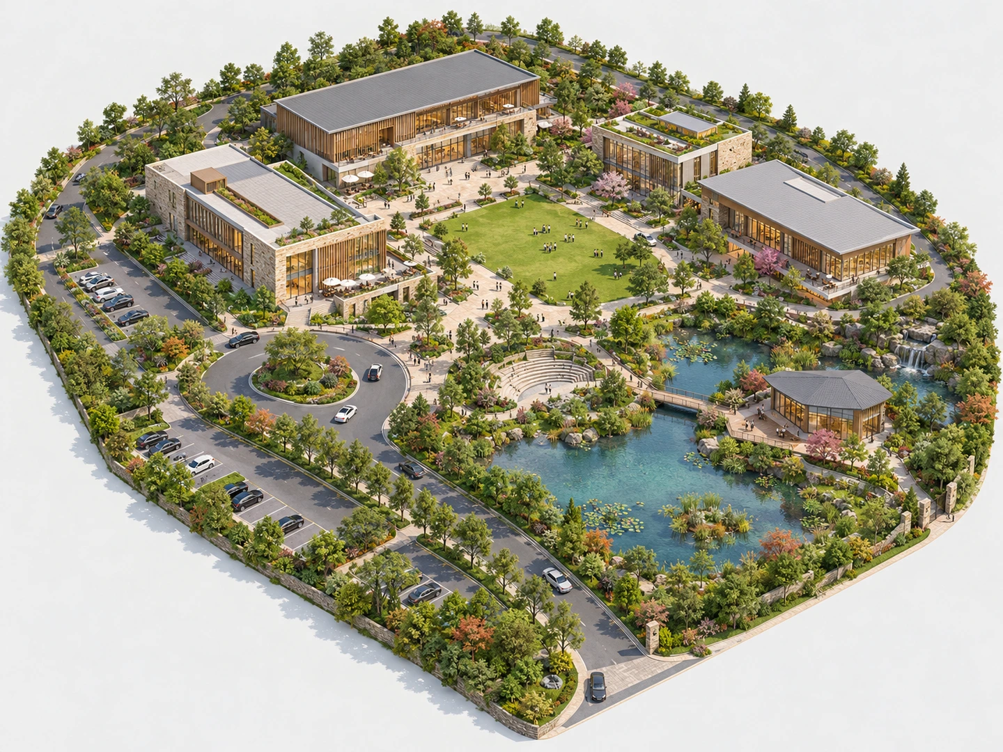
Use a readable site drawing, planning sketch or model screenshot as the visual reference for your render.
Bring out the relationships between buildings, roads, parking, paths and landscape in a single overview.
Share an accessible site image with clients and collaborators alongside the original technical plan.
Explore different styles, weather and times of day while working from the same source image.
Choose a visual style and development type, then refine landscape and surrounding context as needed.
Develop a plain drawing into a more expressive presentation with roof textures, paving, planting and light.
Upload a clear site plan, masterplan sketch or exported model view. Keep the full site, building outlines and circulation visible.
In Presets, select the rendering style, development type, weather and time of day. In Custom, describe the result and optionally add reference images.
Generate the site plan render, compare it with the source drawing and refine the settings or prompt before downloading the result.
Use guided Choose controls in Presets or switch to Custom for a prompt-led workflow with optional reference images.
Choose the visual treatment for the site, from a realistic architectural image to an illustrative presentation style.
Set the project context for residential, commercial, mixed-use, industrial, institutional or recreational sites.
Explore how clear or overcast weather and different times of day affect the atmosphere of the rendered site.
Adjust the visual amount of planting in More Settings or keep the original image as the reference for greenery.
Set vehicle and people density separately, with both controls defaulting to Keep Original.
Guide the visual density of the surrounding urban context. Keep Original is the default in More Settings.
Describe preferred materials, planting, atmosphere or presentation details, and add optional references to guide the result.
Continue your architectural visualization workflow with Dehome tools for elevations, sketches, landscape concepts and building design.
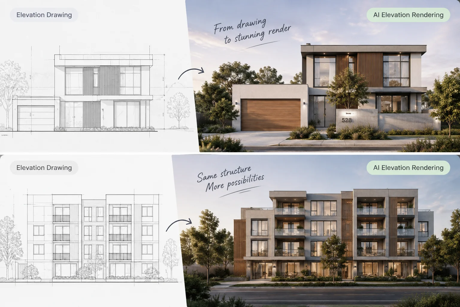
Turn elevation drawings and CAD screenshots into facade visuals with materials and lighting.

Develop an architectural sketch or line drawing into a realistic design visualization.

Explore planting, paths, hardscaping and outdoor design ideas from a landscape photo.
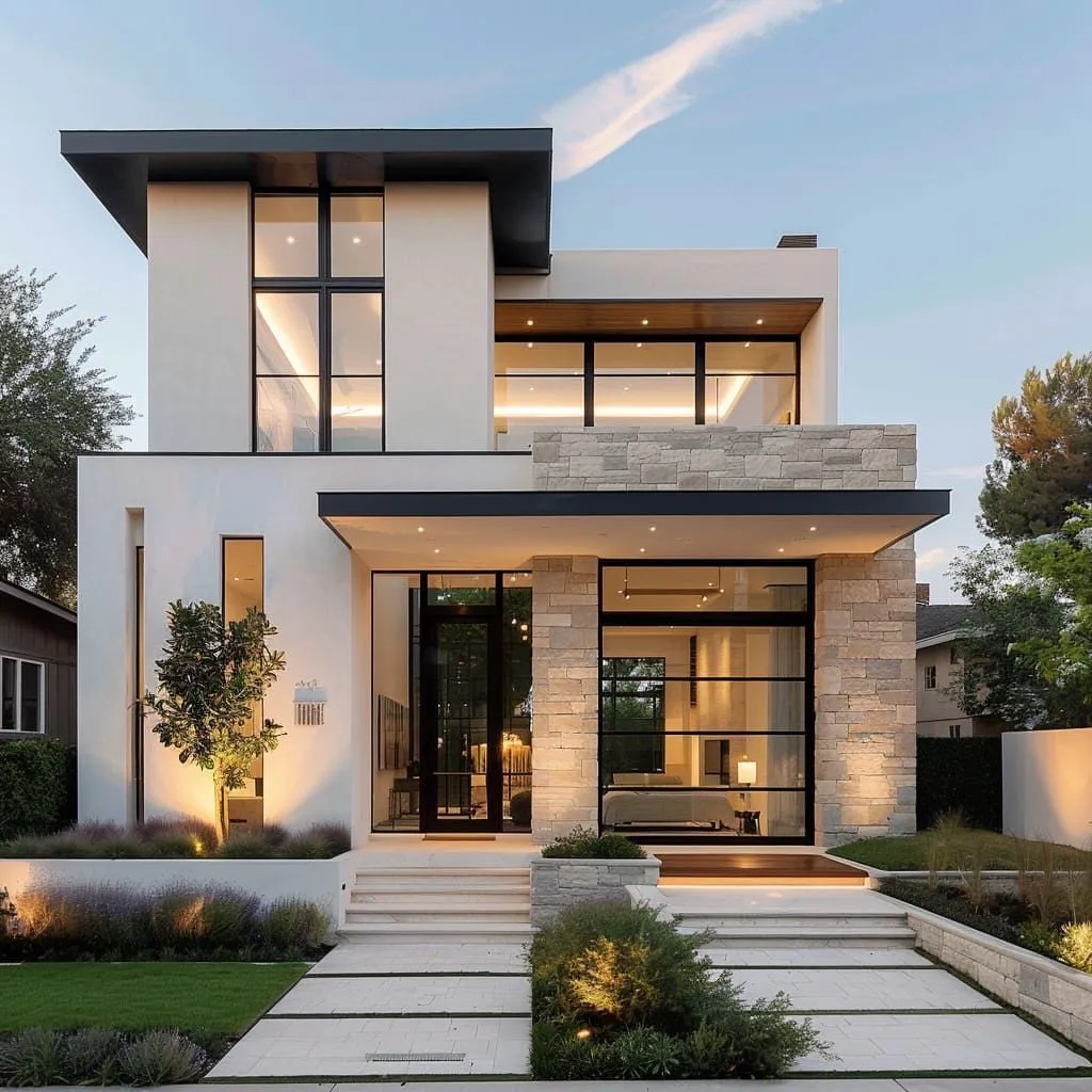
Explore building forms, architectural styles and early design concepts with AI.
Learn how to turn existing site drawings into rendered visuals for architectural and landscape presentations.
Site plan rendering adds materials, planting, lighting and visual context to a site drawing. It creates an overview of buildings, roads, parking and open space that is easier to use in a presentation or design discussion.
Start with an existing site plan, masterplan sketch or model screenshot. Choose preset settings or add a custom prompt and references, then generate a rendered site image. The generator creates a visual interpretation of your source; it does not calculate a new compliant site layout.
Yes. A clear 2D drawing can guide a rendered image with realistic roofs, materials, planting and shadows. The result is a raster visualization, not an editable 3D model. Check it against your source plan because AI may interpret details that the drawing does not specify.
Use a readable site plan, a CAD view exported as an image, a hand-drawn planning sketch or a model screenshot. Building outlines, access roads, paths and site boundaries should be clear. Remove unnecessary overlays and keep the whole site in the frame.
Presets provides Choose controls for style, development type, weather and time of day. More Settings contains greenery, vehicle, people and urban density controls, each defaulting to Keep Original. Custom provides a prompt box and optional reference images for describing the result in your own words.
Yes. Use landscape plan rendering for parks and open-space concepts, or master plan rendering for campuses, neighborhoods and mixed-use developments. The render helps communicate design intent. Use verified CAD, BIM and survey documents for measured information and formal submissions.
Upload a site drawing and create a clearer visual story for your buildings, landscape and public space.